
Research Projects
European Archaeological Surveyors offer a comprehensive suite of GIS, aerial archaeology, and remote sensing skills and expertise, providing a range of services to support archaeological and environmental projects. With extensive experience in landscape archaeology and geographic information systems, our team is equipped to assist with high-quality map production, robust data management, advanced data processing, the integration of machine learning technologies or even learning.
GIS
Whether you require detailed mapping, streamlined data handling, or cutting-edge predictive modelling, European Archaeological Surveyors are committed to providing expert geospatial support that meets the highest professional standards.

Machine Learning
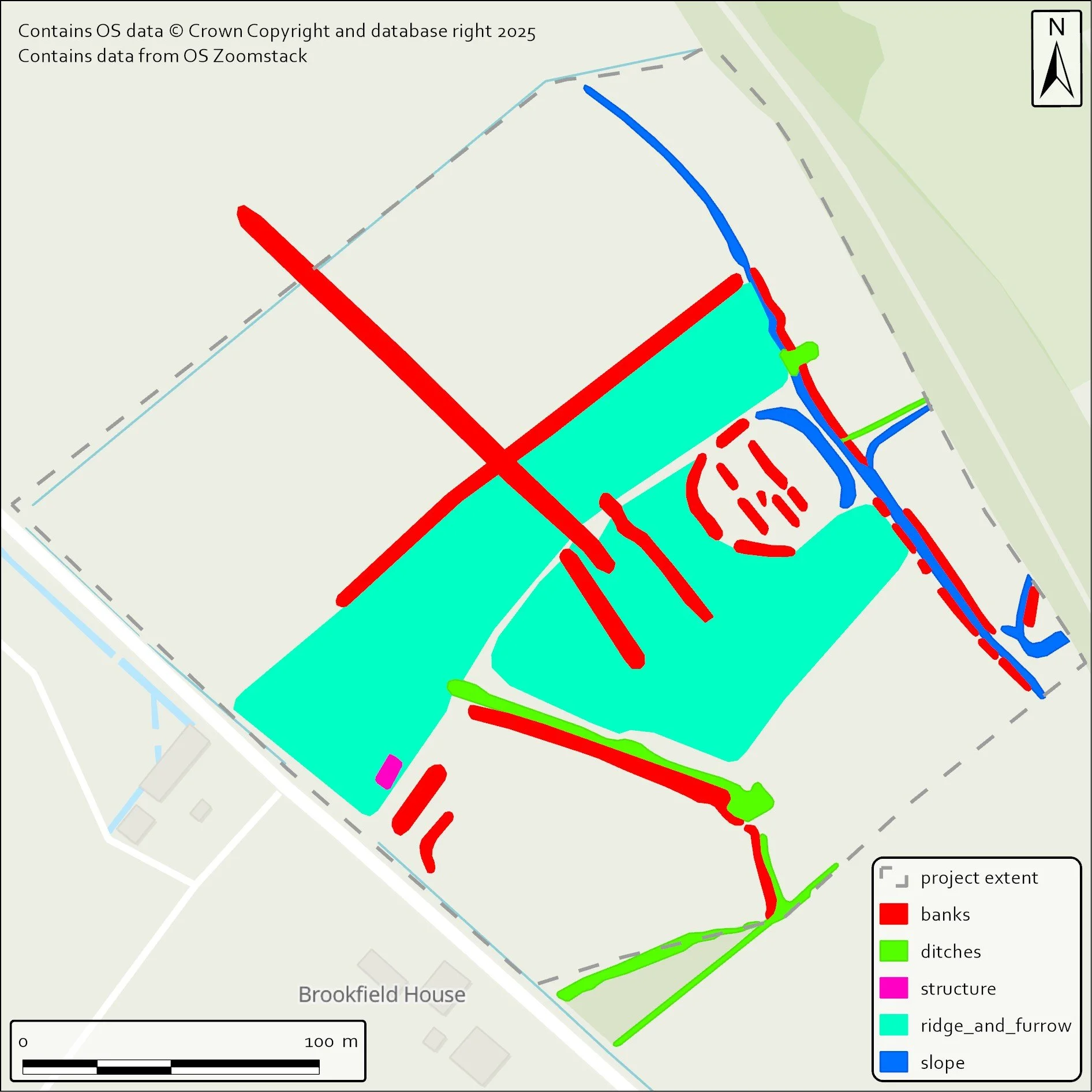
Our innovative use of machine learning methodologies within GIS workflows positions us at the cutting edge of archaeological data analysis, offering clients greater accuracy, efficiency, and insight. Especially focused on the spheres of archaeological predictive modelling and automated feature detection.
Landscape Archaeology
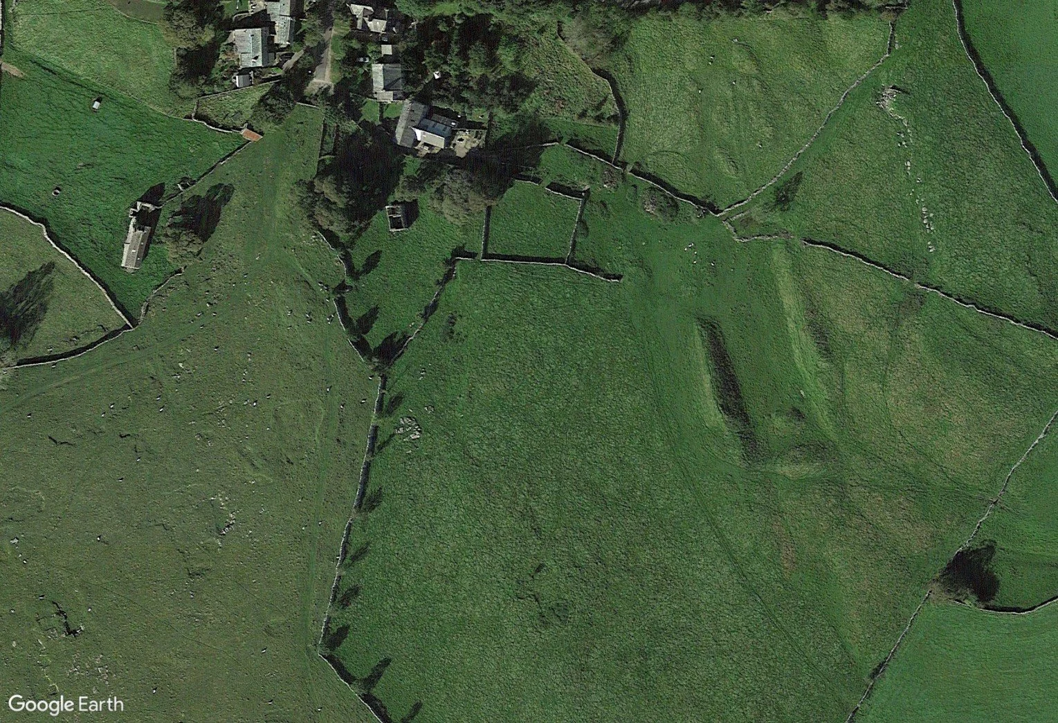
Our team has a wealth of knowledge in landscape archaeology built up over years of experience. European Archaeological Surveyors aims to provide their specialist services to aid both independent and institutional researchers in a non-prohibitive way.
To discuss how European Archaeological Surveyors can help your project in the UK, Europe, or beyond, please reach out using the form below.
Contact Us
Interested in working together? Fill out some info and we will be in touch shortly. We can’t wait to hear from you!